See every asset, every risk — and turn it into a report instantly.
Automatically enrich asset data with geospatial risks, track impact from events, and export standardized reports for internal control, regulator, or management review.
One core engine, many industries.
Use Cases by Industry
Discover how different industries leverage Datamapan's comprehensive platform for their specific needs
Underwriter
Location-grade risk scoring with comprehensive hazard analysis
Risk Engineer
From survey to mitigation in one seamless workflow
Claims
Real-time impact assessment for faster claim validation
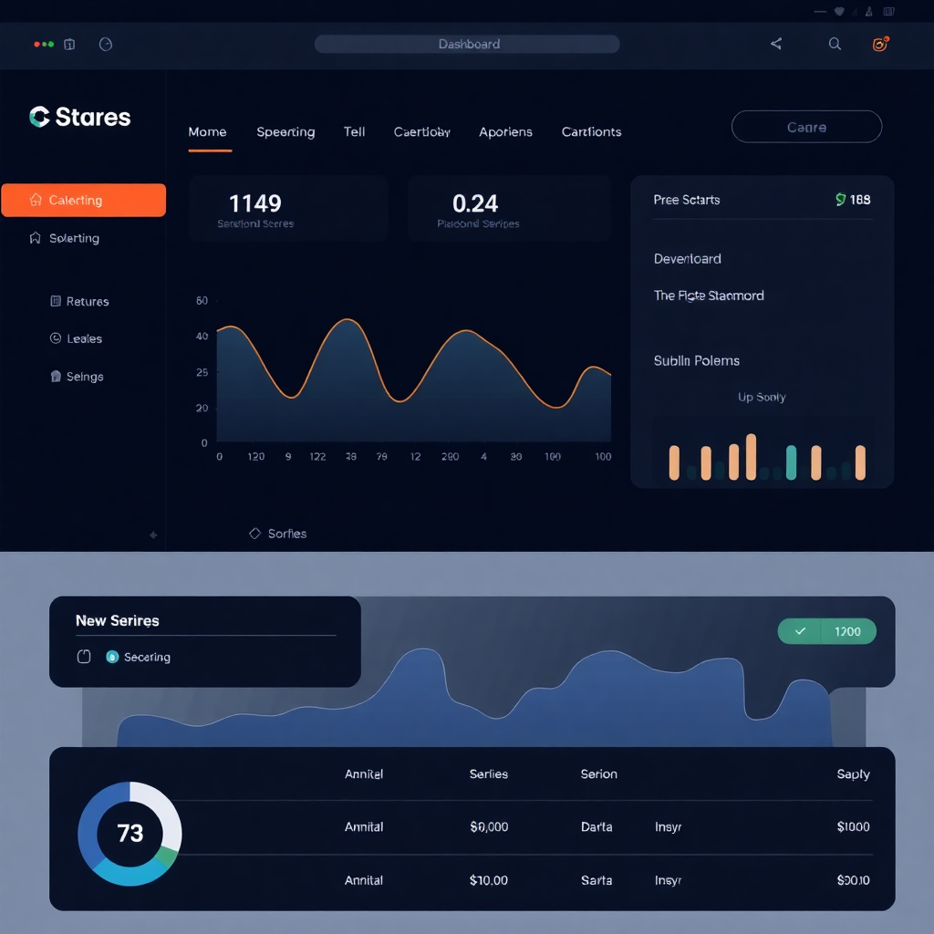
Each role sees what matters
Tailored dashboards that deliver the right insights to the right people at the right time

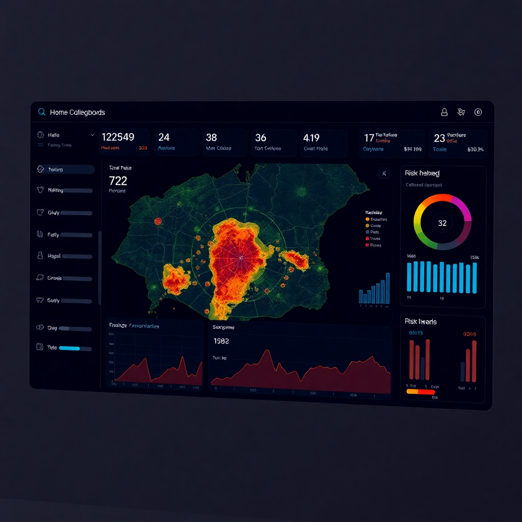
Underwriting Risk Score
Interactive map with premium range calculations and risk analytics

Claim Impact Estimator
Real-time event-to-asset overlay for accurate impact assessment

Network Asset Risk Map
Comprehensive telecom infrastructure risk monitoring

Housing Risk Map
Public housing vulnerability analysis with flood overlays
Site Selection Score
Intelligent site evaluation for optimal development decisions

Collateral Risk Heatmap
Advanced banking portfolio risk visualization and analysis
From raw data to geospatial insight
Experience our streamlined workflow that transforms complex data into actionable intelligence
Ingest
Upload PDF/Excel or connect via API/ETL integration
Process
Advanced OCR, cleansing, and precise georeferencing
Analyze
Geospatial overlay with hazard scoring and RDTR analysis
Simulate & Monitor
Real-time monitoring of flood, earthquake, fire, and events
Report
Instant exports and a reporting library
Modules activated during installation depend on your industry requirements.
Reports where you work — plus a central library
Seamless reporting integration with instant exports and comprehensive library management

Reporting Library
Access your complete report collection with advanced filtering, search, and automated scheduling.
Insurance claim report
Last updated: 2 hours ago
Network impact report
Last updated: 4 hours ago
Housing damage report
Last updated: 1 day ago
Collateral stress test
Last updated: 3 days ago
Every view in Datamapan can be exported instantly. For recurring or regulatory reports, leverage the centralized Reporting Library.
Built for on-premise & regulated environments.
Install only the modules you need (insurance, telco, housing, construction…)
Data stays in your infra
API-first for integration to existing GIS / ERP / core systems